


Professional UAV services for power line inspection, solar energy monitoring, infrastructure inspection, and precision surveying & mapping.
Years Combined Industry Experience
Completed Inspection & Survey Projects
Energy & Infrastructure Clients Served
Client Satisfaction Rate
Advanced Drone Inspection & Surveying Services for Critical Infrastructure
Using advanced drone technology, high-resolution sensors, and thermal imaging systems, our team delivers accurate aerial data that helps organizations improve safety, reduce operational costs, and optimize maintenance planning.
To become a trusted global provider of drone-powered inspection and aerial data solutions, helping industries monitor infrastructure more safely, efficiently, and intelligently.
Our mission is to deliver high-precision drone inspection, surveying, and predictive maintenance services that support utilities, energy companies, construction firms, and government agencies in making smarter operational decisions.
We provide advanced UAV-based inspection and aerial data solutions to help utilities, energy companies, construction firms, and government agencies monitor infrastructure safely, efficiently, and accurately.
High-precision aerial mapping and 3D data collection for land development, construction planning, and infrastructure projects.

Drone inspection of power lines and transmission towers to quickly detect faults and improve maintenance efficiency.

Efficient inspection of solar farms and energy facilities using high-resolution and thermal drone imaging.
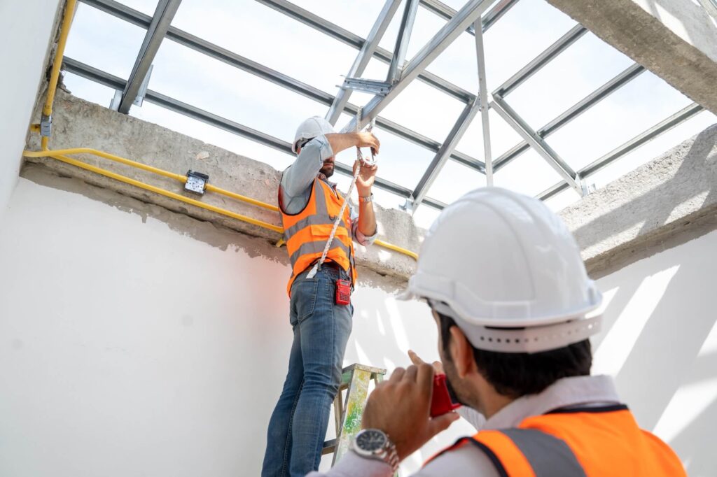
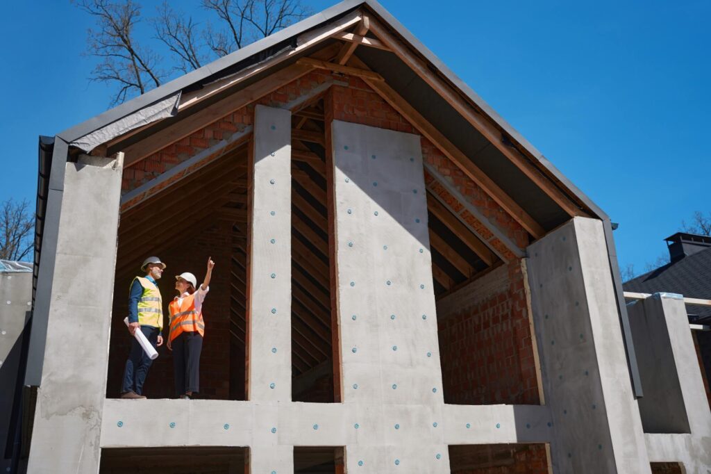
Safe aerial inspection of bridges, towers, pipelines, and critical infrastructure assets.

Thermal drone inspections to identify overheating components and prevent equipment failures.
Actionable aerial data and inspection reports to support smarter infrastructure management.

We combine advanced UAV technology with industry expertise to deliver safe, accurate, and cost-effective inspection and surveying solutions.
We use high-precision drones and sensors to capture accurate aerial data.
Drone inspections reduce downtime and complete surveys much faster.
High-resolution imagery and detailed reports support better decisions.
Inspect infrastructure safely without putting personnel at risk.
Explore how our drone inspection and aerial surveying services help utilities, energy companies, construction teams, and public sector clients improve safety, accuracy, and operational efficiency.
Our structured workflow ensures accurate aerial data collection, efficient inspections, and detailed reporting for infrastructure, energy, and surveying projects.


Through advanced UAV technology and experienced operators, we deliver accurate aerial inspections, high-quality survey data, and reliable reporting for infrastructure, utilities, and energy projects worldwide.
Drone inspections and aerial surveying missions successfully delivered for infrastructure, energy, and construction clients.
Transmission lines, solar farms, bridges, and infrastructure assets inspected using advanced UAV technology.
Utilities, renewable energy companies, construction firms, and government agencies rely on our drone inspections for accurate data, safer operations, and efficient infrastructure monitoring.
Clear communication and accurate aerial reporting. The inspection was completed quickly and helped us plan maintenance efficiently.
Professional drone pilots and detailed thermal analysis. Their inspection identified several solar panel issues we had missed.
Reliable drone surveying partner with excellent technical expertise and data accuracy.
Outstanding aerial mapping and inspection services. The reports were clear and easy for our engineering team to use.
Efficient and safety-focused inspections that saved us significant time compared to manual inspections.
Learn more about how our UAV inspection, aerial surveying, and thermal analysis services help organizations monitor infrastructure safely and efficiently.
Our certified drone pilots use advanced UAV systems equipped with high-resolution cameras and sensors to capture detailed aerial imagery and inspection data from infrastructure and energy assets.
We provide drone inspection services for utilities, renewable energy companies, construction projects, and government infrastructure agencies.
Our reports typically include high-resolution images, thermal analysis (if required), defect identification, and detailed findings to support maintenance planning.
Yes. Drone inspections reduce the need for personnel to climb towers, bridges, or power structures, significantly improving safety while delivering accurate data.
Our drone inspection teams operate across multiple regions and can support projects nationwide depending on regulatory requirements.
The duration depends on the project size and asset type, but most inspections can be completed much faster than traditional manual methods.
Yes. We use thermal imaging drones to detect overheating components, electrical faults, and solar panel performance issues.
You can contact our team through the website contact form, email, or phone to discuss your project requirements and schedule an inspection.